Research Projects Support · Kenya & East Africa

Your field research, amplified by drones

Multispectral, thermal, and RGB data capture for field science - flown by an operational team trusted by leading research institutions on three continents.

Previous clients

Trusted by leading research institutions

We support field campaigns for universities and research organisations working across ecology, climate science, agriculture, and livestock systems in East Africa.

[ ISRAEL ]

Weizmann Institute of Science

Multispectral imagery for a pan-African eddy covariance and mobile lab project at Kapiti Research Station, in the Athi-Kapiti wildlife corridor.

[ NORWAY ]

University of Oslo

Drone data capture supporting environmental field research campaigns in Kenya.

[ GERMANY ]

Technical University of Munich

Aerial survey support for academic field studies in East African landscapes.

[ KENYA ]

ILRI

Imagery supporting livestock-systems and rangeland research with the International Livestock Research Institute.

[ KENYA ]

Strathmore University

Drone data and technical collaboration with one of Kenya's leading universities.

Track record

Drone-based research projects we've supported in Kenya

Field campaigns where our aircraft, pilots, and airspace clearances put world-class science in the air.

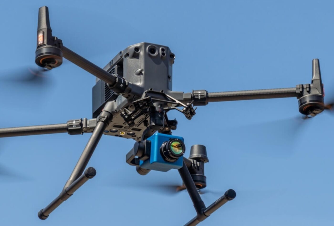
Survey drone fitted with a methane sensing payload in flight

Drone-based methane emissions from livestock

Supporting the University of Oslo, ILRI, NIBIO, and University of Milan at ILRI's Kapiti Research Station - the first drone quantification of ruminant methane in sub-Saharan Africa, including the first camel emissions ever measured in Africa. Published in Biogeosciences.

Read the study →
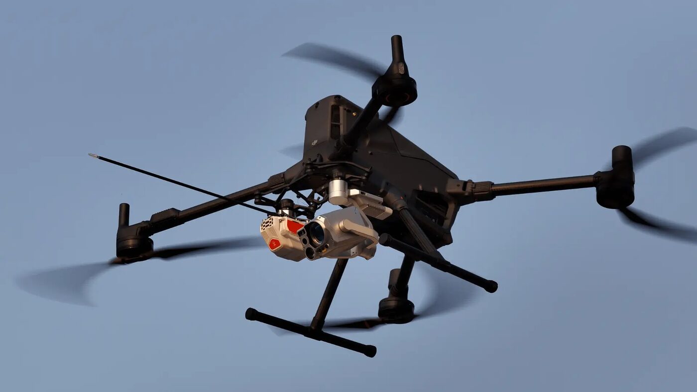
Enterprise drone carrying an atmospheric research payload at dusk

Weizmann mobile lab - tracking Africa's changing lands

Aerial data support for the Weizmann Institute's Biosphere–Atmosphere Research Mobile Lab campaign, measuring how land-use change is reshaping East Africa's carbon, water, and energy cycles - in one of the world's largest climate observation blind spots.

Read about the mission →
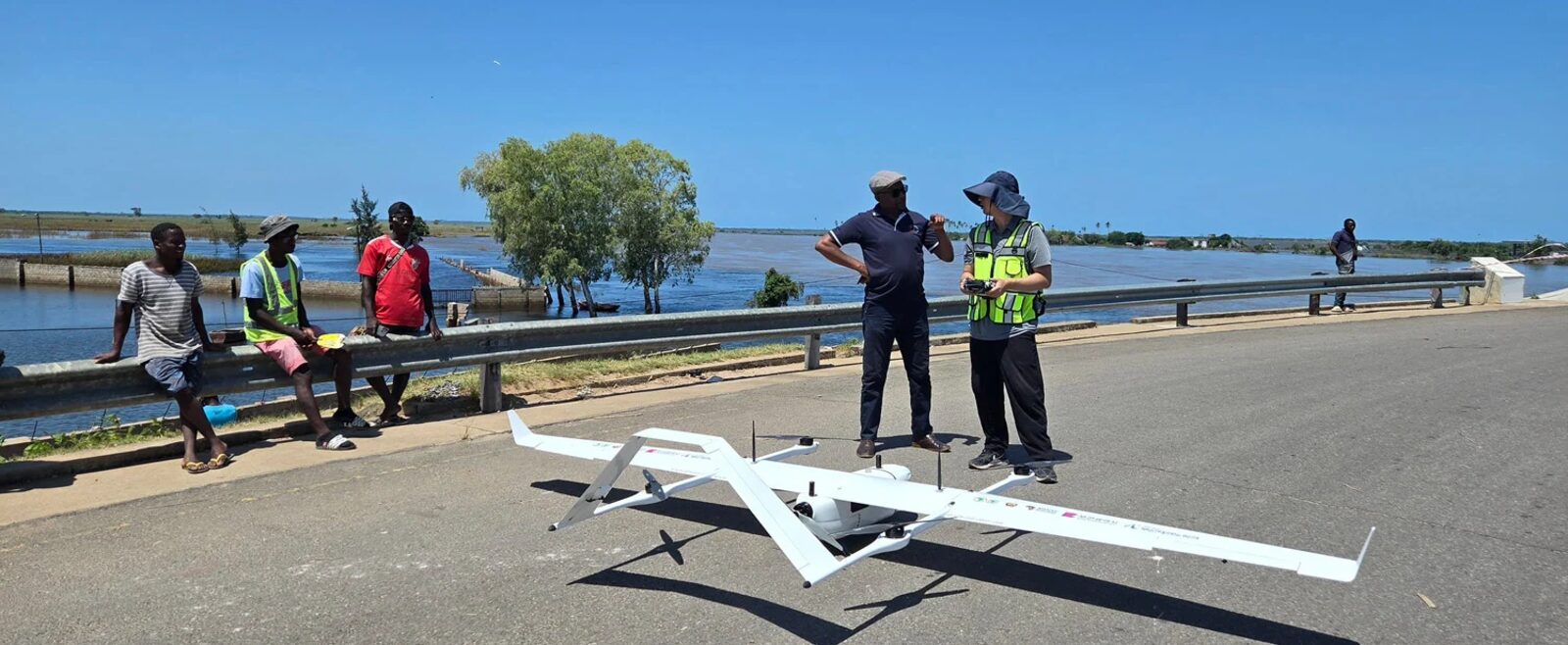
VTOL fixed-wing survey aircraft deployed at a flooded river crossing

...and many more

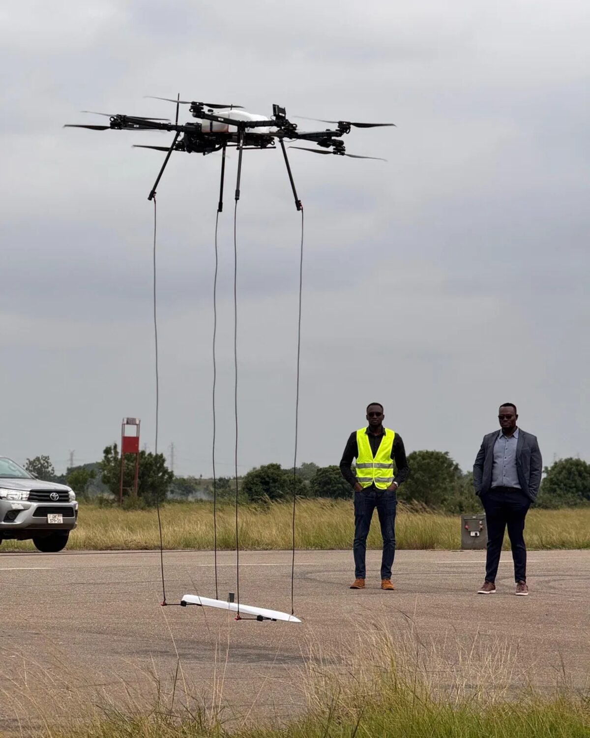
From VTOL mapping campaigns to towed-sensor geophysical surveys, we deploy the right airframe and payload for each research question - with permits, pilots, and field logistics handled end to end.

What we capture

Publication-ready data products

Sensors and deliverables matched to your research question, processed to the standard your methods section demands.

[ MS ]

Multispectral

NDVI, SAVI and custom vegetation indices, spectral classification, and phenology time series for ecosystem and agricultural studies.

[ TIR ]

Thermal

Microclimate mapping, surface temperature datasets, and wildlife detection surveys.

[ RGB ]

High-resolution RGB

Orthomosaics, site documentation, and change-over-time monitoring with repeatable flight plans.

[ GIS ]

Analysis-ready formats

GeoTIFF and cloud-optimised outputs with full metadata and processing notes - ready for QGIS, ArcGIS, R, or Python workflows.

Heavy-lift drone flying a towed sensor array during a geophysical survey
How we collaborate

An operations partner, not just a flight service

Research schedules move with seasons, funding cycles, and field access. We plan campaigns around your research calendar, handle every permit and airspace clearance in-country, and stay flexible when the weather isn't.

  • Deployment windows planned around your field seasons
  • All Kenyan airspace permits and clearances handled by us
  • Repeat-flight campaigns for temporal studies
  • Academic collaboration rates and grant-budgeting support
Workflow

From research question to dataset

Scoping

Define the research question, sensors, resolution, and revisit schedule together.

Feasibility & permits

Site assessment, flight windows, and all regulatory approvals.

Capture

Field campaigns flown to spec, with repeatable flight plans for time series.

Processing

Orthos, indices, and derived products processed to your methodology.

Delivery

Analysis-ready data with metadata, plus support through to publication.

Planning a field campaign in East Africa?

Talk to us at proposal stage - we'll help you scope and budget the drone component accurately.

Talk to VersaDrones

The fastest way to reach us is WhatsApp: we respond within 48 hours.

Chat on WhatsApp

Or send an official inquiry to info@versadrones.net