Power line corridors, substations, and generation assets - inspected safely from the air with thermal, RGB, and LiDAR payloads, under full KCAA compliance.
Grid assets spread across vast, hard-to-reach terrain. Manned patrols are slow, helicopter surveys are expensive, and climbing live infrastructure is dangerous. Drones change the economics and the safety case at once.
No tower climbs, no work near energised equipment, no foot patrols through rough terrain. Inspections happen from a safe standoff distance.
A drone crew inspects kilometres of line or a full substation in hours, not days - with consistent, repeatable data capture on every pass.
Regular aerial inspection catches corrosion, hotspots, and vegetation encroachment early - before they become outages and emergency repairs.
After a storm or fault, assess damage across a corridor in a single flight and direct repair crews to exactly the right structures.
We match payloads to your operational requirement - and deliver data your engineering team can act on.
High-resolution visual documentation for routine inspections, damage assessment, and asset registers. Zoom to bolt level without a single climb.
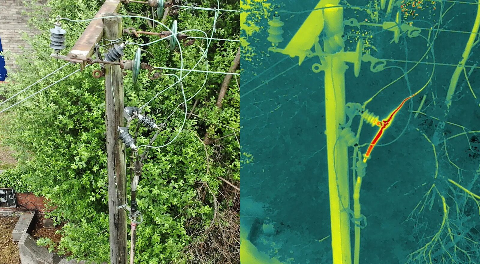
Detect overheating joints, failing insulators, and load imbalances invisible to the eye - the earliest warning you can get before a failure.
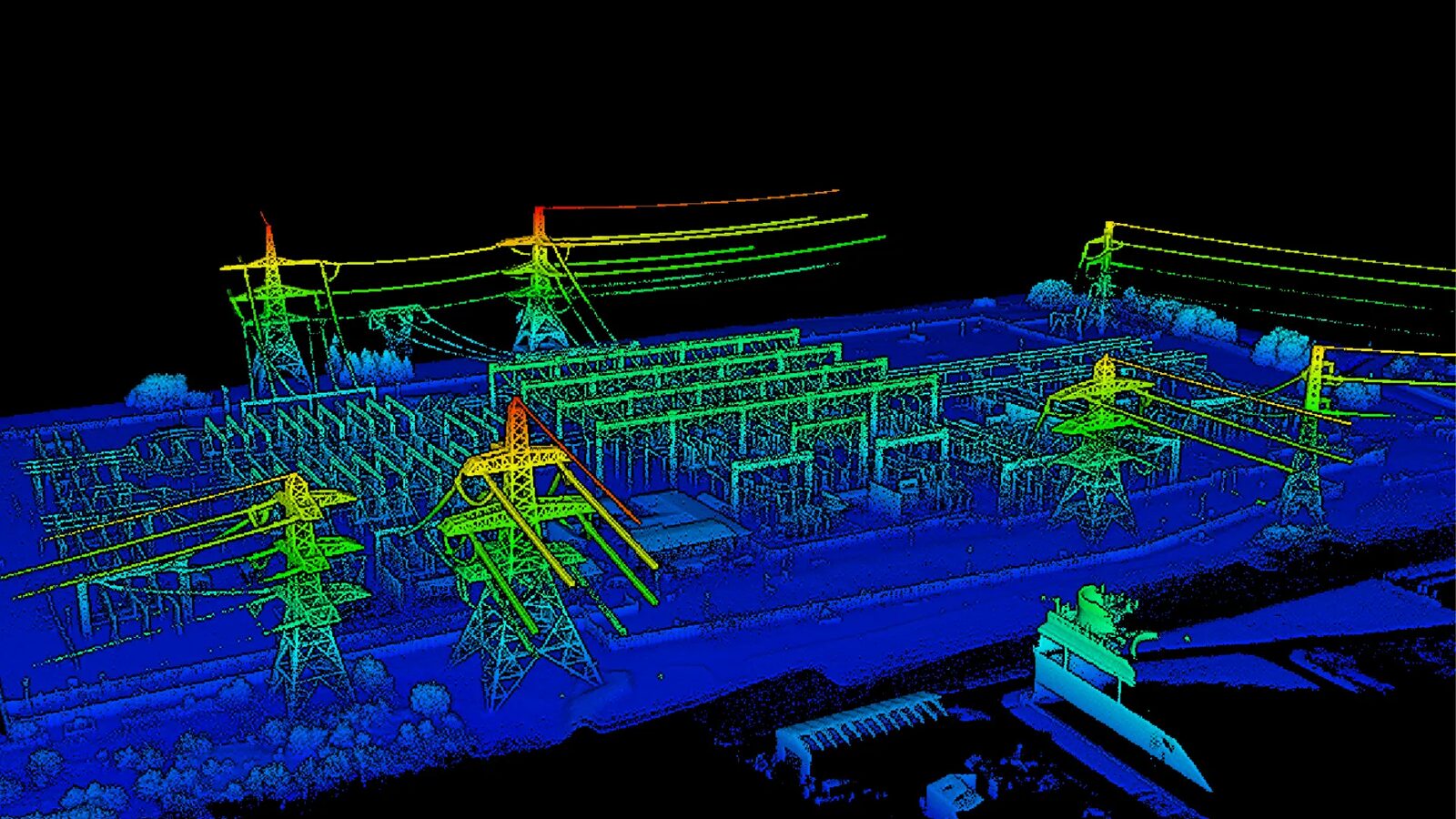
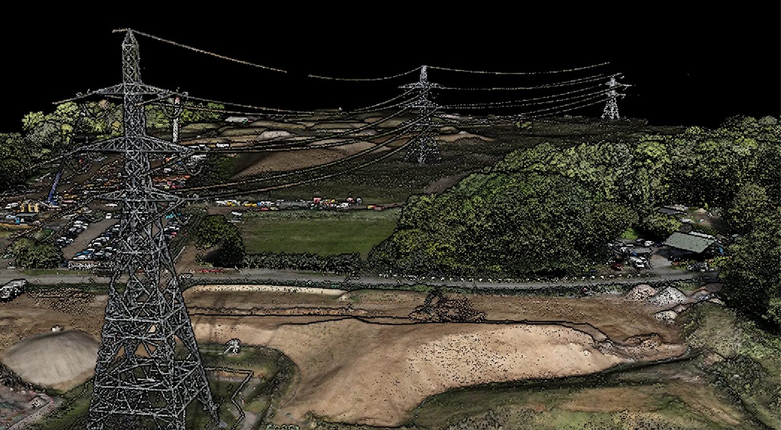
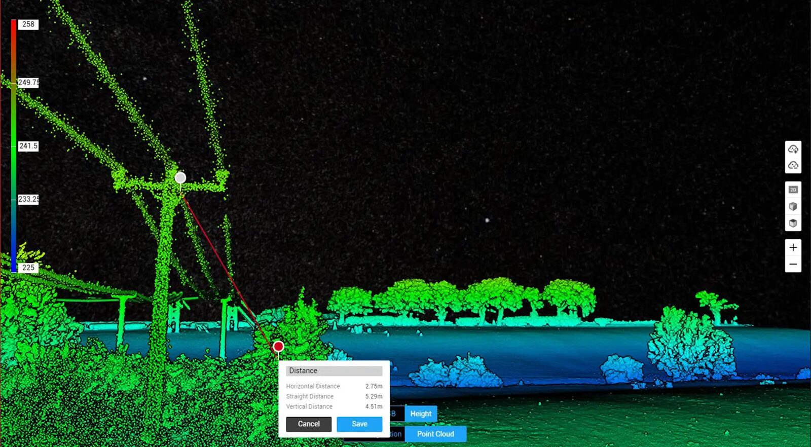
Centimetre-accurate corridor mapping, clearance measurement, and vegetation encroachment analysis - even through canopy.
Georeferenced 3D models to document asset condition, track change over time, and support construction and upgrade planning.

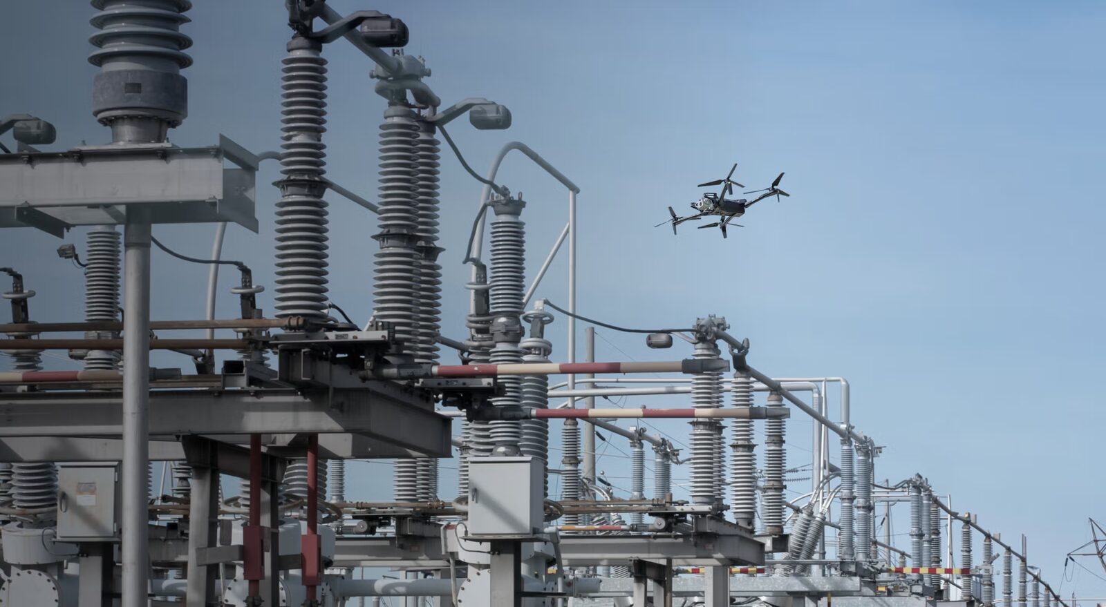
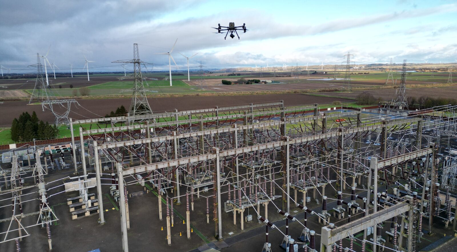
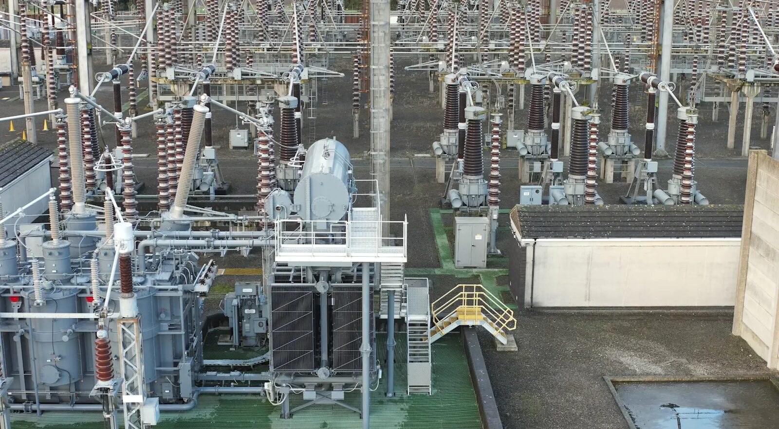
Ground-free inspection of transformers, switchgear, busbars, and perimeter fencing. Thermal scans reveal overheating components before they fail; high-resolution visual passes document condition for maintenance planning and audits.

For long, complex line networks, drones inspect poles, conductors, and insulators efficiently - detecting faults, storm damage, and vegetation encroachment before they cause outages. LiDAR-derived clearance measurements give your vegetation management programme hard numbers, not estimates.

Solar farms, wind installations, and hydro infrastructure - inspected for panel faults, structural damage, and condition changes in environments where ground access is slow, risky, or impossible.
Critical infrastructure demands more than a drone and a pilot. Every VersaDrones mission runs on a full regulatory and operational framework.
We fly under our ROC and the Civil Aviation (UAS) Regulations 2020, with operations specifications covering complex missions.
Beyond-visual-line-of-sight capability for long corridor work - with the compliance casework to secure the approvals.
A travelling lead pilot plus locally licensed pilots in each country of operation keeps every mission compliant with national regulations.
Georeferenced imagery, classified defect inventories, point clouds, and trend reports - formatted for your asset management systems.
Define assets, sensors, and flight corridors with your engineering team.
Permits, airspace approvals, and coordination with the relevant authorities.
Licensed crews capture thermal, RGB, and LiDAR data to specification.
Defect classification, clearance measurement, and condition reporting.
Data handover in your formats, with findings walked through with your team.
Tell us about your network and we'll propose a survey scope within 48 hours.
The fastest way to reach us is WhatsApp: we respond within 48 hours.
Chat on WhatsAppOr send an official inquiry to info@versadrones.net